Tule Campground @ Success Lake (Porterville, CA)
Click on map to enlarge
Elevation: 659 feet
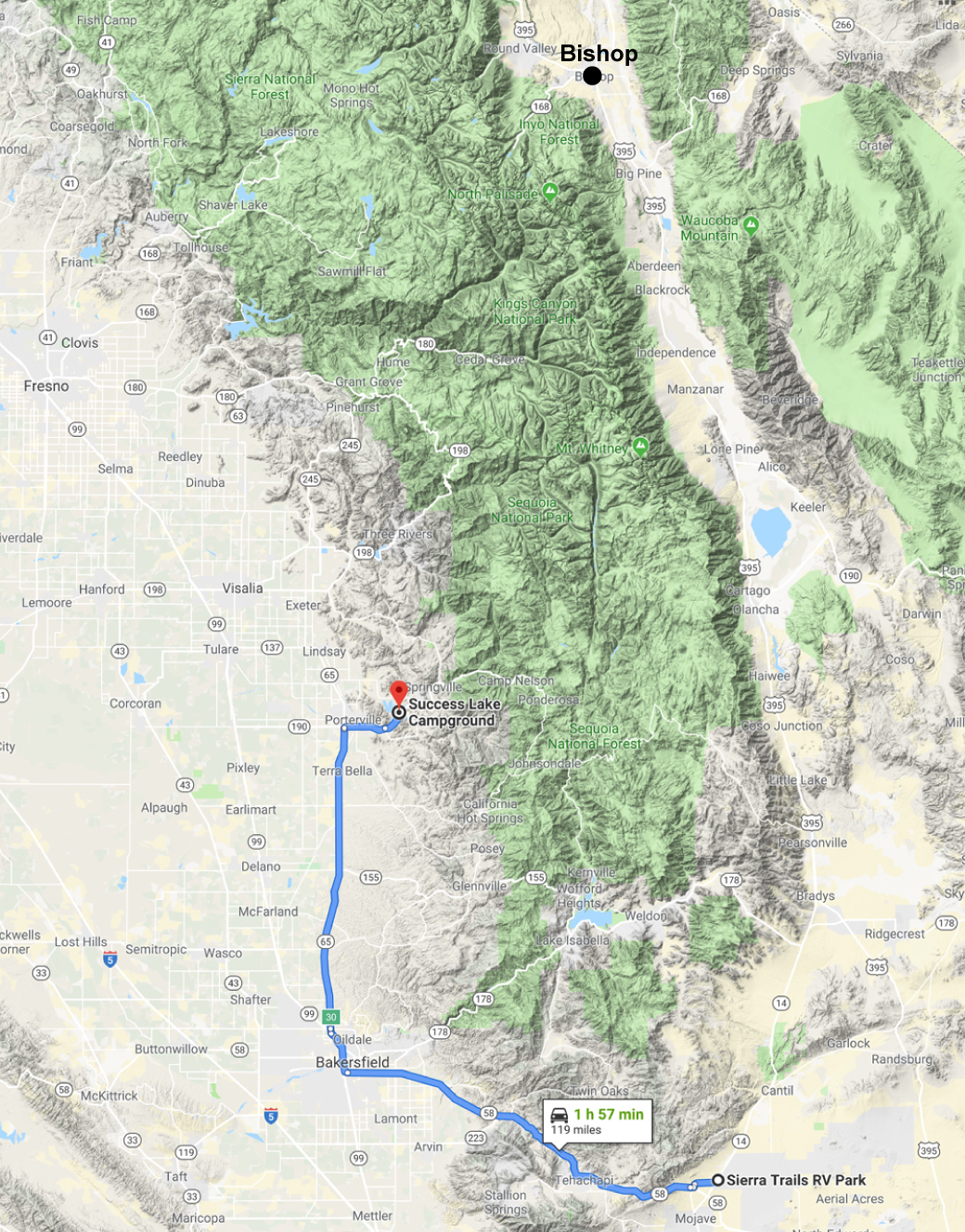
It was only a couple hour drive from the Mojave campground to our next stop at the COE (Corps Of Engineers) Tule campground on Success Lake.
We’re used to going up Highway 395 to Bishop and seeing the eastern side of the Sierras. However, this time we’re traveling up the western side to Yosemite.
It’s only a two-day stay so we’re kicking back and enjoying the view . . .
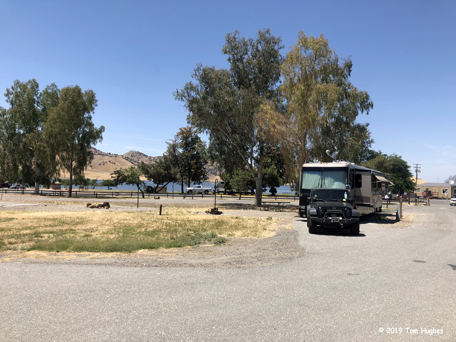
Our Site 52 – a pull through
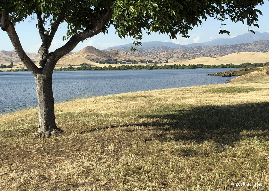
Looking East towards the Sierras
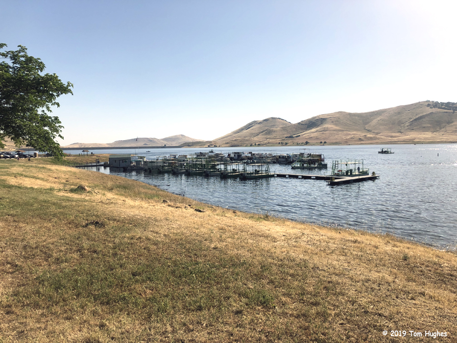
Rent a Pontoon

Flirt chillin’
3 Comments
Post a comment


It seems strange to see such brown vegetation and a lake in the middle of it all.. bizarre. Hope you are enjoying your experience. Sure looks like Flirt is.. what a life! Mary
Virus-free. http://www.avast.com
I was wondering if the maps you use are from a trip planner program? We will be leaving AZ in about a month or so and likely be heading in the same general direction as you. In fact, we’re looking at the Tule campground too, seems like it would meet our needs because it’s inexpensive and within driving distance of the Sequoia National Forest. So thanks for that “find!” Carole Inman
Sent from Yahoo Mail for iPhone
Most of the maps I use — like this one are Google maps that just I screen capture.
Others are from public sources like this Grand Canyon PDF. Once in a while I’ll add text to a map using Adobe Illustrator.
Finally, I take screen captures from RVTripWizard which I use to plan our long trips.