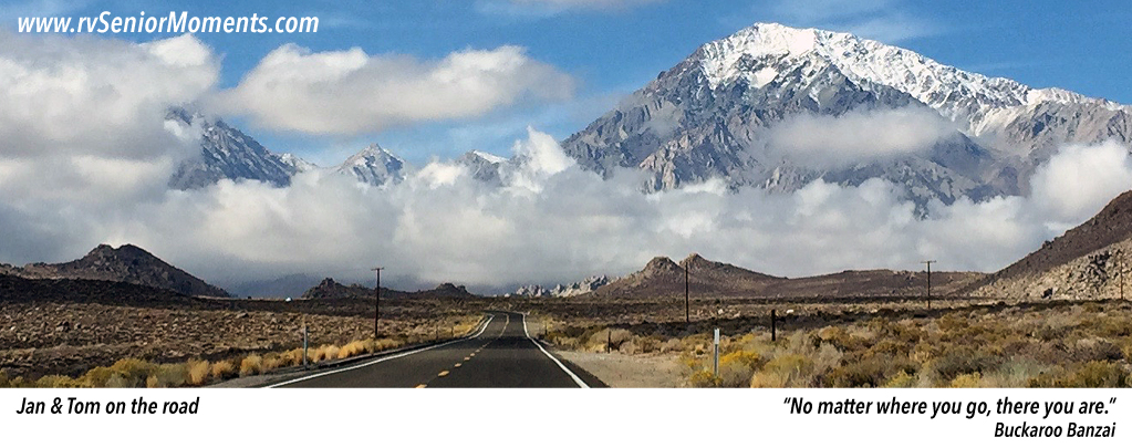
Bandon & Beyond

Bandon to Netarts (click on map to enlarge)
After spending a few days in Bandon, OR, we traveled north along the Oregon Coast Highway (aka Hwy 101) to Netarts/Tillamook, OR.
The beaches around Bandon were expansive!

China Beach (click on photo to enlarge)

Coquille Lighthouse
However, the “high point” of the trip was the Cape Creek Tunnel outside of Florence, OR. At first we couldn’t figure out why our GPS was routing us away from Highway 101 — look at the gray routes on the map above. These GPS routes added 100 miles to our trip. Why?
The Cape Creek Tunnel. It seems that this arched tunnel is 14′ high in its middle, but drops to under 12′ at the tunnel’s sides. Apparently, a GPS uses this lower height when calculating routes, and most RVs, including ours, are over 12′ tall.
After checking a couple of RV forums, we discovered that lots of people had driven through this tunnel. So we took the short route through the tunnel with our GPS attempting to turn us around until the very end . . .


Onward! New vistas.. beautiful coastal sights.. and a scary tunnel.. Oh My! You made it. Yay!! Mary
On Tue, Jun 25, 2019 at 10:46 PM rvSeniorMoments wrote:
> Tom (rvSeniorMoments) posted: ” After spending a few days in Bandon, OR, > we traveled north along the Oregon Coast Highway (aka Hwy 101) to > Netarts/Tillamook, OR. The beaches around Bandon were expansive! > However, the “high point” of the trip was the” >
I had same experience you had with this. Kept wondering in back of my mind if I would have to unhook and turn around. Even used google earth before hand.